Precision in Geospatial Solutions
At NPLUS SOLUTIONS, we are committed to delivering accurate, reliable, and efficient surveying solutions. With expertise in Total Station Surveys, GIS Mapping, Cadastral Mapping, Drone Surveys, and Contour Mapping, we provide precise geospatial data for construction, land management, and infrastructure projects. Using cutting-edge technology and a client-focused approach, we ensure exceptional results for every project


Your Trusted Survey Partner
Innovative Mapping Technologies
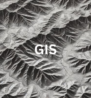
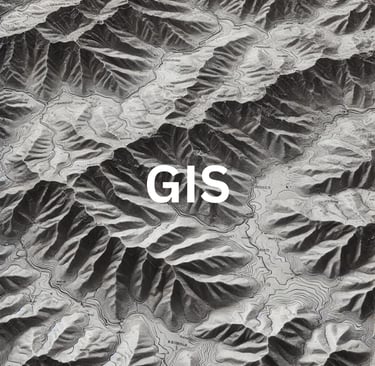
At NPLUS SOLUTIONS, we harness cutting-edge mapping technologies to deliver high-precision geospatial solutions. From Drone Surveys and 3D Digital Elevation Models (DEM) to GIS Mapping and Cadastral Surveys, we integrate advanced tools to enhance accuracy, efficiency, and decision-making. Our expertise in Total Station, LiDAR, and DGPS surveys ensures superior data collection for land planning, construction, and infrastructure projects.
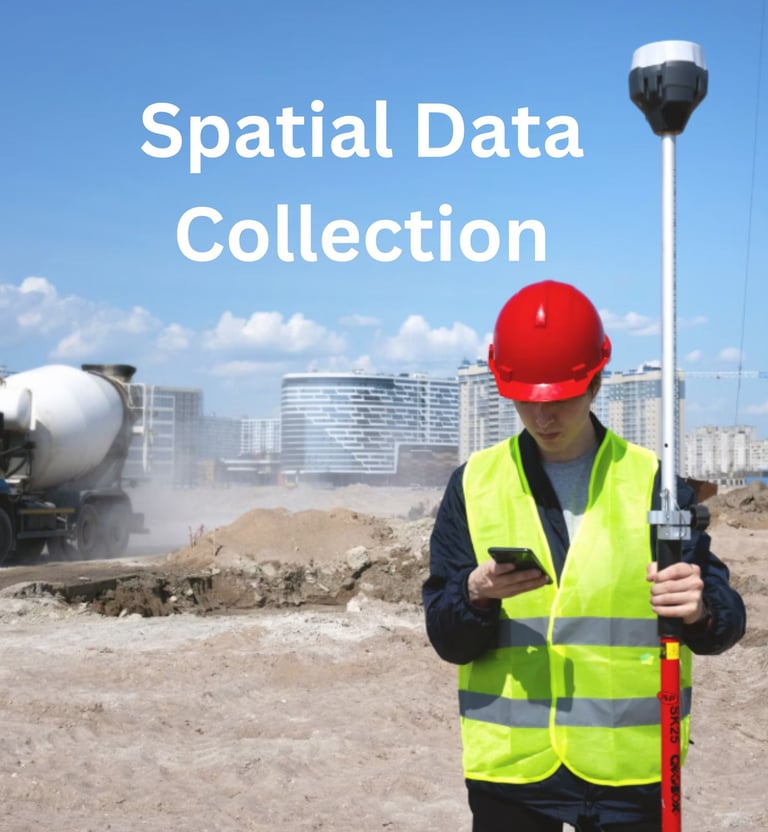
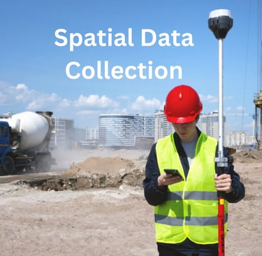
Geospatial Solutions
Precision surveying and mapping services for construction, land management, and infrastructure projects.
Surveying Solutions
At NPLUS SOLUTIONS, we deliver comprehensive surveying services using Total Station, DGPS, Drone, and GIS technology. Our expertise ensures precise data collection for infrastructure, construction, land management, and cadastral mapping projects.


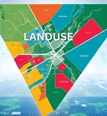
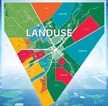
GIS Mapping
At NPLUS SOLUTIONS, we deliver precise GIS Mapping for land planning, infrastructure, and asset management. Using advanced GIS tools, we transform data into interactive maps, helping businesses optimize resources and improve efficiency.
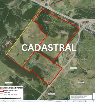
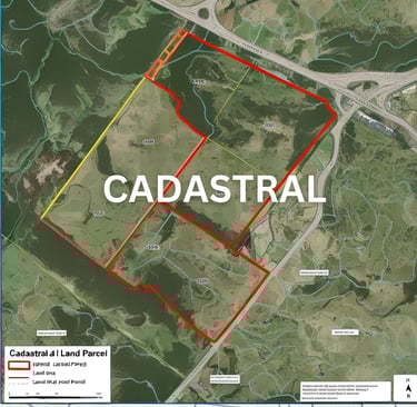
Gallery
Explore our precision surveying and mapping project highlights.


Nplus Solutions provided exceptional surveying services for our project. Their precision and efficiency in GIS mapping and drone surveys were impressive and invaluable.
HARDIK

★★★★★
N PLUS SOLUTIONS
Mapping the Future with Accuracy.
Mapping
+91 9979589533
© 2025. All rights reserved.